Context
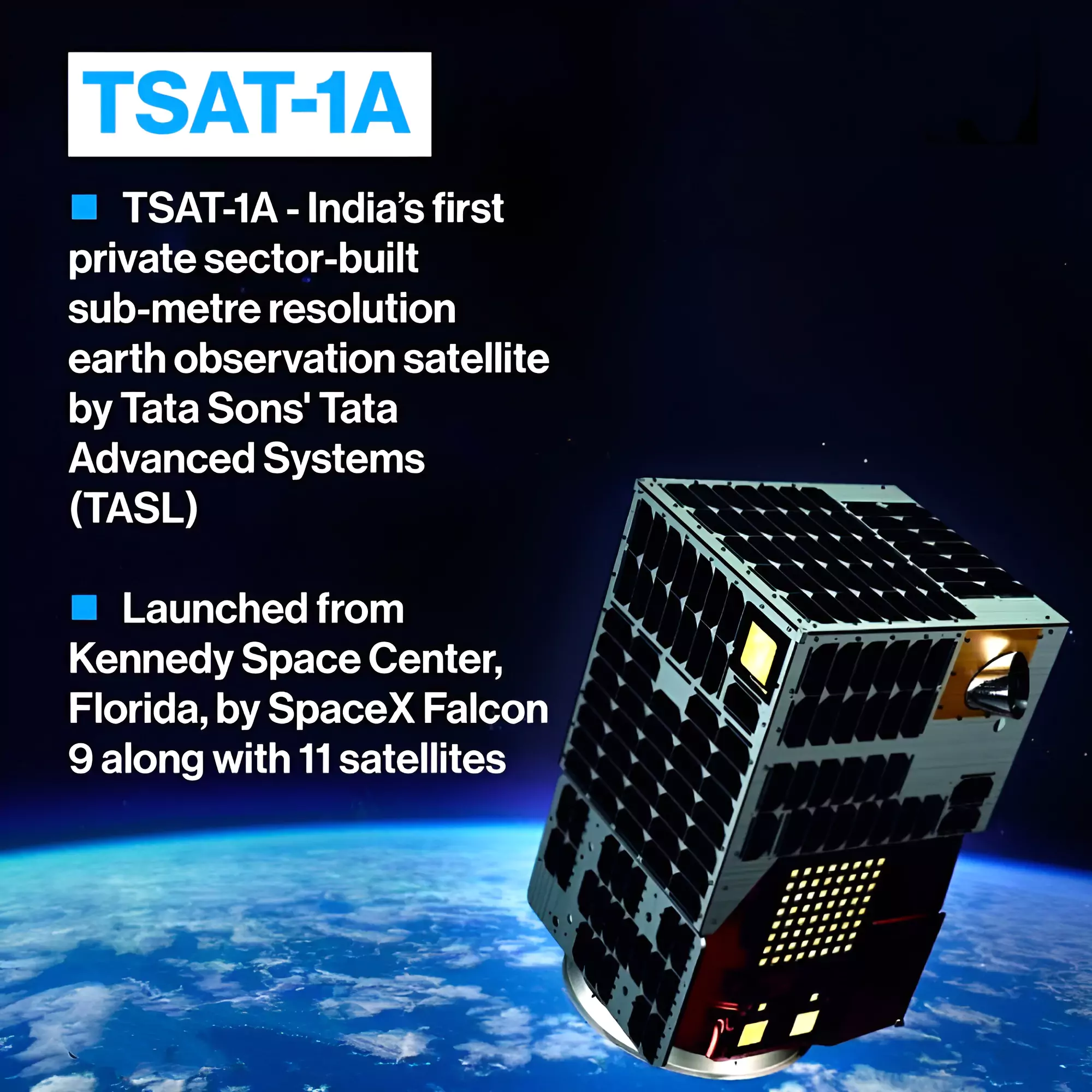
Tata Advanced Systems Limited (TASL) has deployed its sub-metre resolution optical satellite, TSAT-1A, into space.
SpaceX Bandwagon 1 (Dedicated Mid-Inclination Rideshare)
- It is SpaceX’s first dedicated rideshare mission launched into a mid-inclination orbit.
- Other Mission: Alongside TSAT-1A, the Bandwagon-1 mission had 11 other spacecraft.
- These are Korea’s 425Sat, HawkEye 360’s Clusters 8 & 9, Tyvak International’s CENTAURI-6, iQPS’s QPS-SAR-7 TSUKUYOMI-II, and Capella Space’s Capella-14.
Enroll now for UPSC Online Course
About TSAT-1A

- TSAT-1A is a sub-metre resolution optical satellite.
- Developed by: Tata Advanced Systems Limited (TASL) in collaboration with Satellogic.
- It has been successfully deployed into space by SpaceX’s Falcon 9 rocket as part of the Bandwagon-1 mission.
- It was launched from Kennedy Space centre, Florida.
- It was assembled at TASL’s Assembly, Integration, and Testing plant located at its Vemagal facility in Karnataka, India.
-
Features
- The satellite offers
- High-Resolution Optical Images
- Sub-meter resolution for capturing detailed imagery of Earth’s surface.
- Enhanced collection capacity for gathering more data.
- Wider dynamic range for capturing details in both bright and dark areas.
- Low-latency delivery for faster access to captured images.
- TSAT-1A has multispectral and hyperspectral capabilities.
- It is helpful in enhancing its earth observation functionalities.
- Its remote sensing offers information about minerals or vegetation of the surfaces on the Earth.
- TSAT-1A Specifications:
- Weight and Orbit: It weighs less than 50 kg and is positioned in a low-earth orbit.
- Inclined Orbit Benefits: Its inclined orbit configuration enables more frequent revisits to specific areas compared to the Sun Synchronous Polar Orbit (SSPO).
Enroll now for UPSC Online Classes
Applications of TSAT-1A
| Sector |
Application |
Description |
| Agriculture |
Monitoring Crop Health and soil condition |
- Provides high-resolution images to assess crop health, identify stress factors, and optimize practices.
- Analyzes soil conditions and is helpful in efficient resource management.
|
| Disaster Management |
Real-Time Data for Preparedness |
- Offers real-time imagery during disasters, enabling timely response and recovery efforts.
- Assists in assessing damage, tracking natural disasters, and supporting relief operations.
|
| Environmental Monitoring |
Land Cover and Land Use Mapping |
- Monitors changes in land cover, deforestation, and urban expansion.
- It will also aid in monitoring water bodies, droughts, and water quality.
|
| Infrastructure Planning |
Urban Development / construction |
- Provides data for urban planning, infrastructure development, and transportation networks.
|
| Security and Defense |
Border Surveillance |
- Enhances border security and surveillance with high-resolution imagery.
|
| Scientific Research |
Environmental Studies |
- Assists researchers in studying climate change, ecosystem dynamics, and natural phenomena.
- Aids in geological surveys, mineral exploration, and mapping.
|
Also Read: ISRO Pushpak Viman: Reusable Launch Vehicle (RLV)
![]() 11 Apr 2024
11 Apr 2024
