![]() 20 Jun 2024
20 Jun 2024
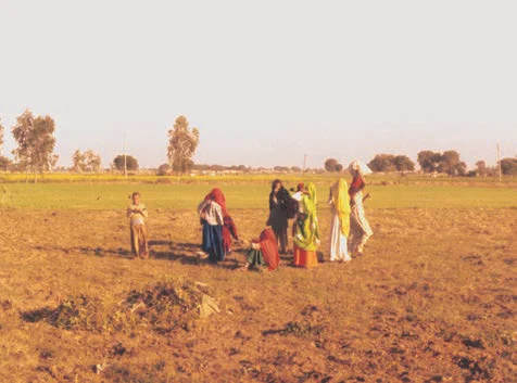
The Northern Plains, a vast alluvial region, results from the convergence of three major river systems: the Indus, the Ganga, and the Brahmaputra, along with their tributaries. Stretching around 3,200 kilometers from east to west and varying in width from 150-300 kilometers, this fertile plain is rich in alluvial soil.
Over millions of years, sediment deposition at the base of the Himalayas created this highly productive agricultural area, covering approximately 7 lakh sq. km and supporting a dense population.

The Northern Plains
Breaking down the Northern Plains: A Geographical Overview
The Northern Plains is broadly divided into three sections.
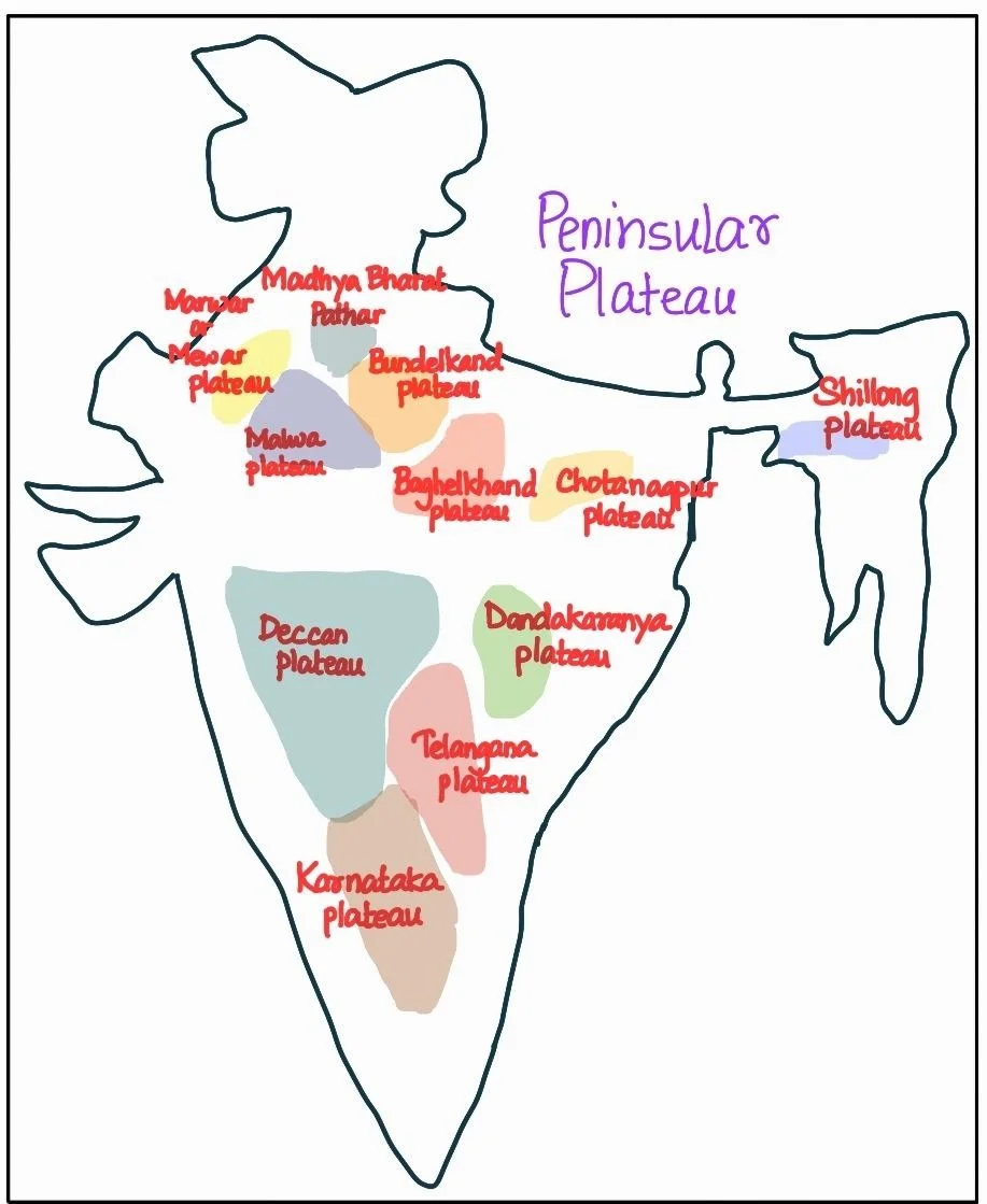
The Peninsular Plateau is an ancient tableland composed of crystalline, igneous, and metamorphic rocks, standing in contrast to the Northern Plains, a vast alluvial region.
Peninsular Plateau: Varied Geological Features and Northern Plains

The Deccan Plateau is a triangular landmass that lies to the south of the river Narmada.
What Roles do the Deccan Plateau and Northern Plains Play in Shaping India’s Geography?
|
POINTS TO PONDER The Deccan Traps are a distinct landscape found in and around Maharashtra region. Find out the unique characteristics of the Traps and the reason for its formation. Can you link the reason with the resources available in this area, particularly, the Black soil. |
|---|

The India Desert
| Must Read | |
| Current Affairs | Editorial Analysis |
| Upsc Notes | Upsc Blogs |
| NCERT Notes | Free Main Answer Writing |
<div class="new-fform">
</div>