Upto 60% Off on UPSC Online Courses

Avail Now

Afghanistan Earthquake: Causes, Impacts, and Preparedness

Gaurav Soni October 12, 2023 06:13 4834 0

Afghanistan Earthquake: A 6.3 magnitude earthquake has struck the Herat province in Afghanistan, resulting in severe destruction.
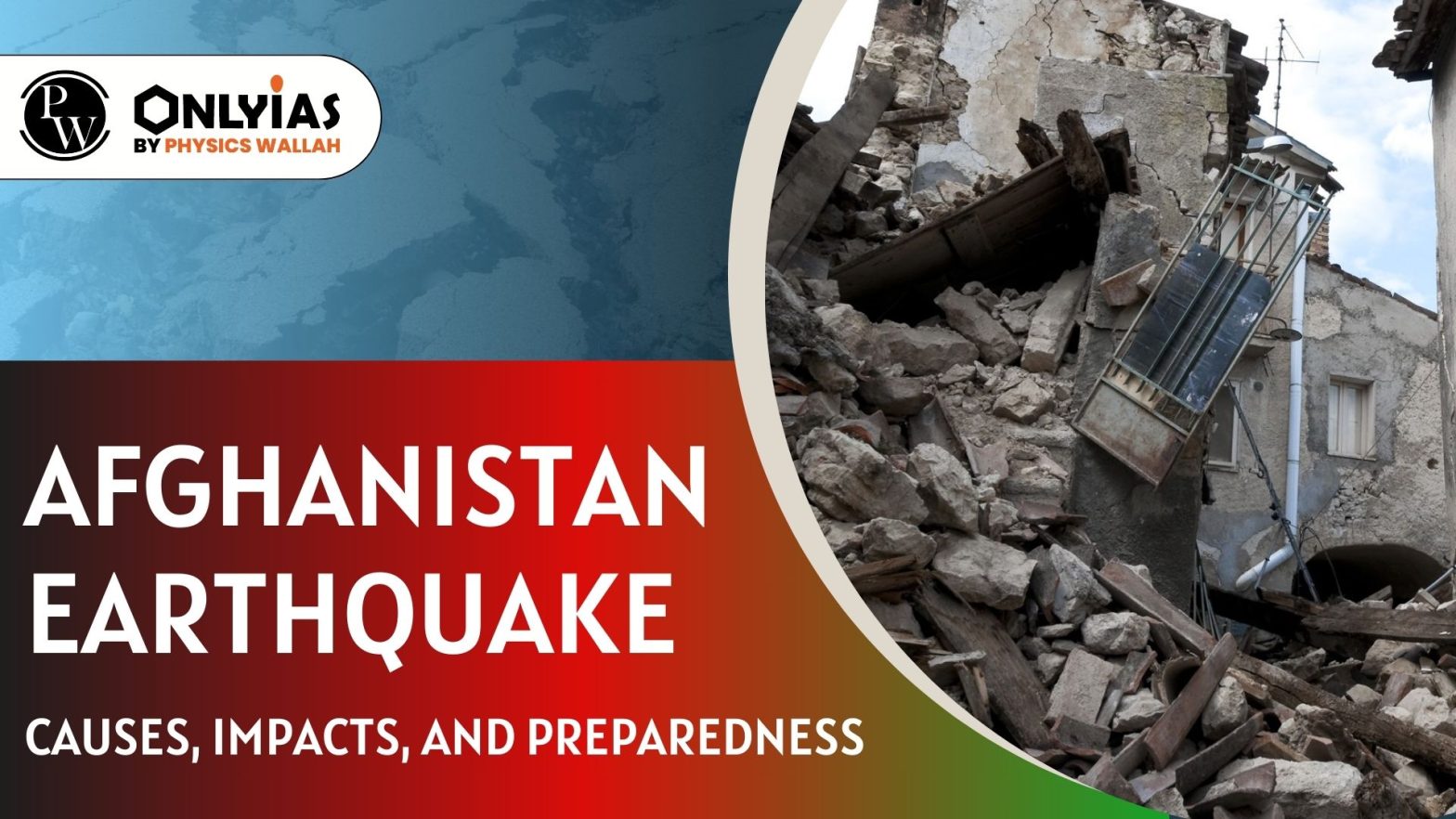
Afghanistan Earthquake: Causes, Impacts, and Preparedness

Context: Afghanistan Earthquake: A 6.3 magnitude earthquake has struck the Herat province in Afghanistan, resulting in severe destruction.

Afghanistan Earthquake – Herat is Shaken by 6.3 Magnitude quake

  • Magnitude and Location of Afghanistan Earthquake: The magnitude 6.3 earthquake was about 28 kilometers outside Herat, the provincial capital, and 10 kilometers deep, according to the U.S. Geological Survey.
    • Afghanistan Earthquake occurred just days after a series of deadly earthquakes that resulted in several fatalities.
  • There have been over 1,000 earthquakes in Afghanistan in the past 10 years.

Afghanistan’s Vulnerability to Earthquakes: Geological Factors 

  • Plate Tectonics : The country is situated on the Eurasian Plate, which is bordered by several other tectonic plates, including the Arabian Plate, the Indian Plate, and the Iranian Plate.
    • These plates are constantly moving and interacting with each other, making the Afghanistan Earthquake prone.

Afghanistan earthquake

  • Hindu Kush Mountains and Afghanistan Earthquake: Afghanistan is located in the Hindu Kush mountain range, which is one of the most seismically active regions in the world.
    • The Hindu Kush mountains are formed by the collision of the Indian Plate and the Eurasian Plate.
    • This collision has created a number of faults in the region, which are weak zones where earthquakes are more likely to occur and this is one of the reasons for the Afghanistan earthquakes.

Earthquake Fundamentals: Causes, Terminology, and Impact

    • An earthquake is a sudden release of energy in the Earth’s crust that creates seismic waves.

  • Key terms Related to Earthquakes:
    • Epicentre: The point on the surface of the Earth directly above the focus of an earthquake.
    • Focus: The point inside the Earth where an earthquake starts.
    • Hypocenter: Another name for the focus of an earthquake.
    • Fault: A fracture in the Earth’s crust where two tectonic plates meet.
    • Aftershocks: Smaller earthquakes that occur after the main earthquake in the same place.
    • Foreshocks: Smaller earthquakes that occur before the main earthquake in the same place.
    • Seismograph: An instrument that measures and records ground motion caused by earthquakes.
    • Seismology: The scientific study of earthquakes.
  • Seismic Waves: Seismic waves are waves of energy that travel through the Earth’s crust and cause the ground to shake during an earthquake.
P-waves (Primary waves) S-waves (Secondary waves) Surface waves
  • Fastest seismic waves.
  • First to arrive at a seismic station.
  • Compressive waves.
  • Can travel through solid and liquid materials.
  • Slower than P-waves.
  • Arrive at a seismic station after the P-waves.
  • Transverse waves.
  • Can only travel through solid materials.
  • Slowest seismic waves.
  • Travel along the Earth’s surface.
  • Responsible for the majority of the ground shaking and damage caused by the large earthquakes.


  • Causes of Earthquakes:
    • Plate Tectonics: The movement of the Earth’s tectonic plates can cause earthquakes when the plates interact along plate boundaries. E.g. Nepal earthquake of 2015, Afghanistan Earthquakein 2023.  
    • Volcanic Activity: Earthquakes can occur when magma moves beneath a volcano, causing the ground to shake. E.g. Cotopaxi earthquake of 2002.
    • Human Activity: Human activities, such as the injection of fluid into the ground for waste disposal, or the extraction of oil and gas from underground reservoirs, can induce earthquakes. E.g. Oklahoma earthquake of 2016.
    • Reservoir-Induced Earthquakes: The filling or emptying of large reservoirs, such as lakes or dams, can cause earthquakes as the weight of the water changes and affects the Earth’s crust. E.g. Koyna earthquake of 1967.
    • Glacial Rebound: The movement of glaciers can cause earthquakes as they advance or retreat and cause changes in the Earth’s crust. E.g. New Madrid earthquakes of 1811.

Measurement of Earthquakes: Magnitude and Intensity Scales Explained

  • The magnitude and intensity of an earthquake are two ways to measure its size and impact.
  • Magnitude: The magnitude of an earthquake is a measure of its energy release, and is determined from measurements of the seismic waves generated by the earthquake.
    • The Richter scale and the Moment magnitude scale (Mw) are the two most common scales used to measure magnitude. Ex: Afghanistan Earthquake measured 6.3 on magnitude scale.
  • Intensity: It is a measure of the shaking caused by an earthquake at a particular location.
    • It is determined by factors such as the distance from the epicenter, the type of ground, and the type of structures in the area.
    • The Modified Mercalli Intensity (MMI) scale is the most common scale used to measure intensity.
Richter scale
  • It is a logarithmic scale which ranges from a value of 1 to a value of 10.
  • With each increase in the magnitude of the earthquake, the amount of ground shaking increases by 10 times, and the amount of energy released increases 32-fold.
  • It is most accurate for earthquakes that occur in the Earth’s shallow crust.
  • It was originally developed by Charles Richter in 1935, and it is still widely used today.
Moment magnitude scale
  • It is a more recent scale that was developed in the 1970s.
  • It is based on the total energy released by the earthquake.
  • It is more accurate than the Richter scale for measuring large earthquakes.
Modified Mercalli Intensity scale
  • It is a qualitative scale that is used to describe the effects of an earthquake at a particular location.
  • The MMI scale is a 12-point scale, with Roman numerals I to XII.


Impacts of Earthquakes: From Loss of Life to Economic Fallout

  • Loss of Life and Injury: Earthquakes can cause buildings to collapse, roads to crack, and power lines to fall, all of which can lead to death and injury. During the Afghanistan Earthquake more than 1000 people have died.
  • Displacement: Earthquakes can destroy homes and communities, forcing people to flee to other areas.
  • Disruption of Essential Services: Earthquakes can damage roads, bridges, and other infrastructure, which can disrupt essential services such as water, electricity, and communication.
  • Economic Impacts: Earthquakes can cause billions of dollars in damage to property and infrastructure. This can lead to job losses and economic hardship.
  • Psychological Impacts: Earthquakes can be terrifying and can cause anxiety, stress, and post-traumatic stress disorder (PTSD).

Environmental Consequences of Earthquakes: From Landslides to Air Pollution

  • Landslides: Earthquakes can trigger landslides, which can block rivers and roads, and damage buildings and infrastructure.
  • Tsunamis: Earthquakes that occur under the ocean can generate tsunamis, which cause significant damage to coastal areas.
  • Water Contamination: Earthquakes can damage water pipes and sewage systems, which can contaminate drinking water. This can lead to the spread of disease.
  • Air Pollution: Earthquakes can generate dust clouds and release harmful gases into the air. This can lead to respiratory problems and other health problems.

India’s Earthquake Vulnerability and Disaster Preparedness

  • Plate Tectonics: India falls prominently on the ‘Alpine – Himalayan Belt’. This belt is the line along which the Indian plate meets the Eurasian plate.
    • Being a convergent plate, the Indian plate is thrusting underneath the Eurasian plate at a speed of 5 cm per year. 
    • This makes the entire region covering fourteen states (located in western and central Himalayas, northeast, and parts of Indo-Gangetic basin) highly prone to earthquakes.
  • The other seismically active regions: The Gulf of Khambhat and Rann of Kutch in Western Gujarat, parts of peninsular India, the islands of Lakshadweep and Andaman and Nicobar Islands.

  • Seismic Zones of India: India has been divided into four seismic zones according to the maximum intensity of earthquake expected.
    • Of these, zone V is the most active which comprises the whole of Northeast India, the northern portion of Bihar, Uttarakhand, Himachal Pradesh, J&K, Gujarat and Andaman & Nicobar Islands.
    • Much of India lies in zone II and zone III.

International Day for Disaster Reduction 

  • In 1989, the United Nations General Assembly designated 13 October as the International Day for Disaster Risk Reduction (IDDRR).
  • Objective: to promote a global culture of disaster risk reduction.
  • The theme for 2023 is “Early warning and early action for all”.


NDMA Guidelines for Effective Earthquake Preparedness in India

Guidelines issued by NDMA rest on six pillars of seismic safety for improving the effectiveness of earthquake management in India:

  • Earthquake Resistant Construction of New Structures: Implementation of relevant standards for seismically safe design and construction of buildings and other lifeline and commercially important structures.
  • Retrofitting: Selective Seismic strengthening & retrofitting of existing Priority structures and Lifeline Structures.
    • Strengthen priority structures such as Raj Bhavans, Legislatures, Courts, critical buildings like academic institutions, public utility structures like reservoirs, dams and multi-storeyed buildings with five or more floors.
  • Regulation and Enforcement: Establish mechanisms to implement Building Codes and other safety codes to ensure that all stakeholders adhere to seismic safety in all design and construction activities.
    • The National Building Code of India (NBC) provides guidelines for regulating the building construction activities on different materials, planning, design and construction practices of buildings.
  • Awareness & Preparedness: Sensitization of all stakeholders about earthquake safety and the preparation of handbooks, manuals, and video films on the subject.
    • Create vulnerability maps of land areas and streamline NGOs and Volunteer Groups.
  • Capacity Development (Education, Training, R&D, Capacity Building and Documentation): This involves providing training and education to elected representatives, government officials, professionals, NGOs, CBOs, social activists, social scientists, schoolteachers, and school children on earthquake safety.
  • Emergency Response: Through Incident Command System coordinated by the local administration through the Emergency Operations Centre network. It includes involvement of the community, corporate sector, and specialised teams.

Earthquake’s Preparedness

  • Early Warning Systems: Advanced seismometer networks can issue early warnings to populations in earthquake-prone regions, giving people seconds to minutes of notice to take protective actions.
  • Geospatial Information Systems (GIS): GIS technology helps in mapping and analysing fault lines and identifying high-risk areas.
  • Cellular and Satellite Communication: for disseminating emergency information and coordinating rescue efforts.
  • Social Media and Apps: for emergency alerts, communication, and sharing real-time information with the public.
Must Read
NCERT Notes For UPSC UPSC Daily Current Affairs
UPSC Blogs UPSC Daily Editorials
Daily Current Affairs Quiz Daily Main Answer Writing
UPSC Mains Previous Year Papers UPSC Test Series 2024


Print Friendly, PDF & Email

Afghanistan Earthquake FAQs

The recent earthquake in Afghanistan had a magnitude of 6.3 and struck the Herat province.

Afghanistan's location on the Eurasian Plate, surrounded by tectonic plates like the Arabian Plate and Indian Plate, and its position in the seismically active Hindu Kush mountain range make it prone to frequent earthquakes.

The Richter scale is a logarithmic scale that ranges from 1 to 10, with each unit increase representing a tenfold increase in ground shaking, while the Moment magnitude scale measures total energy and is more accurate for large earthquakes.

The International Day for Disaster Risk Reduction, observed on October 13, promotes global disaster risk reduction, with the 2023 theme focusing on "Early warning and early action for all."

Early warning systems can provide populations in earthquake-prone regions with seconds to minutes of notice, allowing them to take protective actions.
/*
*/

Archive Calendar

Mon Tue Wed Thu Fri Sat Sun
 123
45678910
11121314151617
18192021222324
252627282930  

by month

Need help preparing for UPSC or State PSCs?

Connect with our experts to get free counselling & start preparing

 Final Result – CIVIL SERVICES EXAMINATION, 2023.   Udaan-Prelims Wallah ( Static ) booklets 2024 released both in english and hindi : Download from Here!     Download UPSC Mains 2023 Question Papers PDF  Free Initiative links -1) Download Prahaar 3.0 for Mains Current Affairs PDF both in English and Hindi 2) Daily Main Answer Writing  , 3) Daily Current Affairs , Editorial Analysis and quiz ,  4) PDF Downloads  UPSC Prelims 2023 Trend Analysis cut-off and answer key

THE MOST
LEARNING PLATFORM

Learn From India's Best Faculty


 Final Result – CIVIL SERVICES EXAMINATION, 2023.   Udaan-Prelims Wallah ( Static ) booklets 2024 released both in english and hindi : Download from Here!     Download UPSC Mains 2023 Question Papers PDF  Free Initiative links -1) Download Prahaar 3.0 for Mains Current Affairs PDF both in English and Hindi 2) Daily Main Answer Writing  , 3) Daily Current Affairs , Editorial Analysis and quiz ,  4) PDF Downloads  UPSC Prelims 2023 Trend Analysis cut-off and answer key

Quick Revise Now !
AVAILABLE FOR DOWNLOAD SOON
UDAAN PRELIMS WALLAH
Comprehensive coverage with a concise format
Integration of PYQ within the booklet
Designed as per recent trends of Prelims questions
हिंदी में भी उपलब्ध
Quick Revise Now !
UDAAN PRELIMS WALLAH
Comprehensive coverage with a concise format
Integration of PYQ within the booklet
Designed as per recent trends of Prelims questions
हिंदी में भी उपलब्ध

<div class="new-fform">


    </div>

    Subscribe our Newsletter
    Sign up now for our exclusive newsletter and be the first to know about our latest Initiatives, Quality Content, and much more.
    *Promise! We won't spam you.
    Yes! I want to Subscribe.