Books

GNSS (Global Navigation Satellite System) is a satellite navigation system that provides accurate positioning and timing worldwide. It includes GPS, GLONASS, Galileo, BeiDou, and NavIC India. Using trilateration, GNSS powers transport, agriculture, toll systems, and modern global positioning technology.
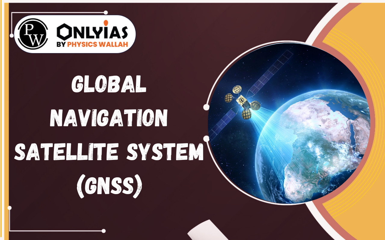
In today’s digital world, navigation apps, ride-hailing services, and even banking systems rely heavily on satellite-based positioning. This is made possible through the Global Navigation Satellite System (GNSS) — a powerful space-based navigation system that provides accurate location, timing, and navigation services worldwide.
Read on if you are wondering what is Global Navigation Satellite System or what is GNSS.
The GNSS full form stands for Global Navigation Satellite System. It is an umbrella term that describes any satellite navigation system with global coverage. While many people use the term “GPS” generically, GPS is actually just one component of the broader GNSS ecosystem.
GNSS relies on constellations of satellites, ground control networks, and special receivers. This technology offers positioning, navigation, and timing (PNT) services and is essential across many sectors, impacting our daily lives.
Several countries have developed their own satellite navigation systems. These systems differ in their satellite numbers and orbital paths. Together, they form the broader Global Navigation Satellite System.
Global Navigation Satellite System components work together to provide accurate services. These systems rely on space-based and ground-based infrastructure. They ensure reliable positioning, navigation, and timing.
The core of geospatial positioning technology lies in the trilateration technique of GNSS. To determine a 2D location (latitude and longitude), a receiver needs signals from at least three satellites. For 3D positioning (including altitude), a fourth satellite is required.
This satellite positioning system relies on high-precision atomic clocks to ensure GNSS accuracy and signals remain consistent. Even a microsecond of error could lead to a position displacement of several kilometers.
The importance of GNSS in modern technology cannot be overstated, especially within the Indian landscape:
Check Out UPSC CSE Books
Visit PW Store
Whether it is for personal navigation or national security, GNSS determines the efficiency of tomorrow. As India integrates the NavIC system into more consumer devices and implements GNSS-based tolling, our reliance on this satellite based timing system and positioning tech will only grow.
UPSC Offline Centres List
City
UPSC Offline Centres
Pantna
UPSC Coaching in Patna
Delhi
UPSC Coaching in Delhi
Lucknow
UPSC Coaching in Lucknow
Indore
UPSC Coaching in Indore
Jaipur
UPSC Coaching in Jaipur
Chandigarh
UPSC Coaching in Chandigarh
Bengaluru
UPSC Coaching in Bengaluru
Muzaffarpur
UPSC Coaching in Muzaffarpur
Prayagraj
UPSC Coaching in Prayagraj
Explore UPSC Test Series

A GNSS is a satellite-based system. It provides accurate positioning, navigation, and timing using signals from Earth-orbiting satellites.
Major GNSS systems include GPS (USA), GLONASS (Russia), Galileo (Europe), BeiDou (China), and NavIC (India).
A GNSS receiver calculates its position using trilateration. It measures distances from multiple satellites based on their transmitted signals.
GNSS ground control stations process satellite data. This helps maintain the system's accuracy and reliability.
GNSS is being used in India for electronic toll collection. This enables distance-based tolling and smoother traffic flow.


Explore SRIJAN Prelims Crash Course

Connect with our experts to get free counselling & start preparing
Books
Udaan (Prelims Wallah)
Prahaar (Mains Wallah)
Q&A Bank (Prelims & Mains)
Budget & Economic Survey
NCERT Wallah
Marks Booster
हिंदी माध्यम विशेष शृंखला
 Current Affairs
Monthly Current Wallah
Subject Wise Current Affairs
Editorial Analysis
Editorial PDFs
News of The Day
Download Our App


Download Our App
<div class="new-fform">
</div>
 GS Foundation
 Optional Course
 Combo Courses
 Degree Program