Books

 14 Oct 2023
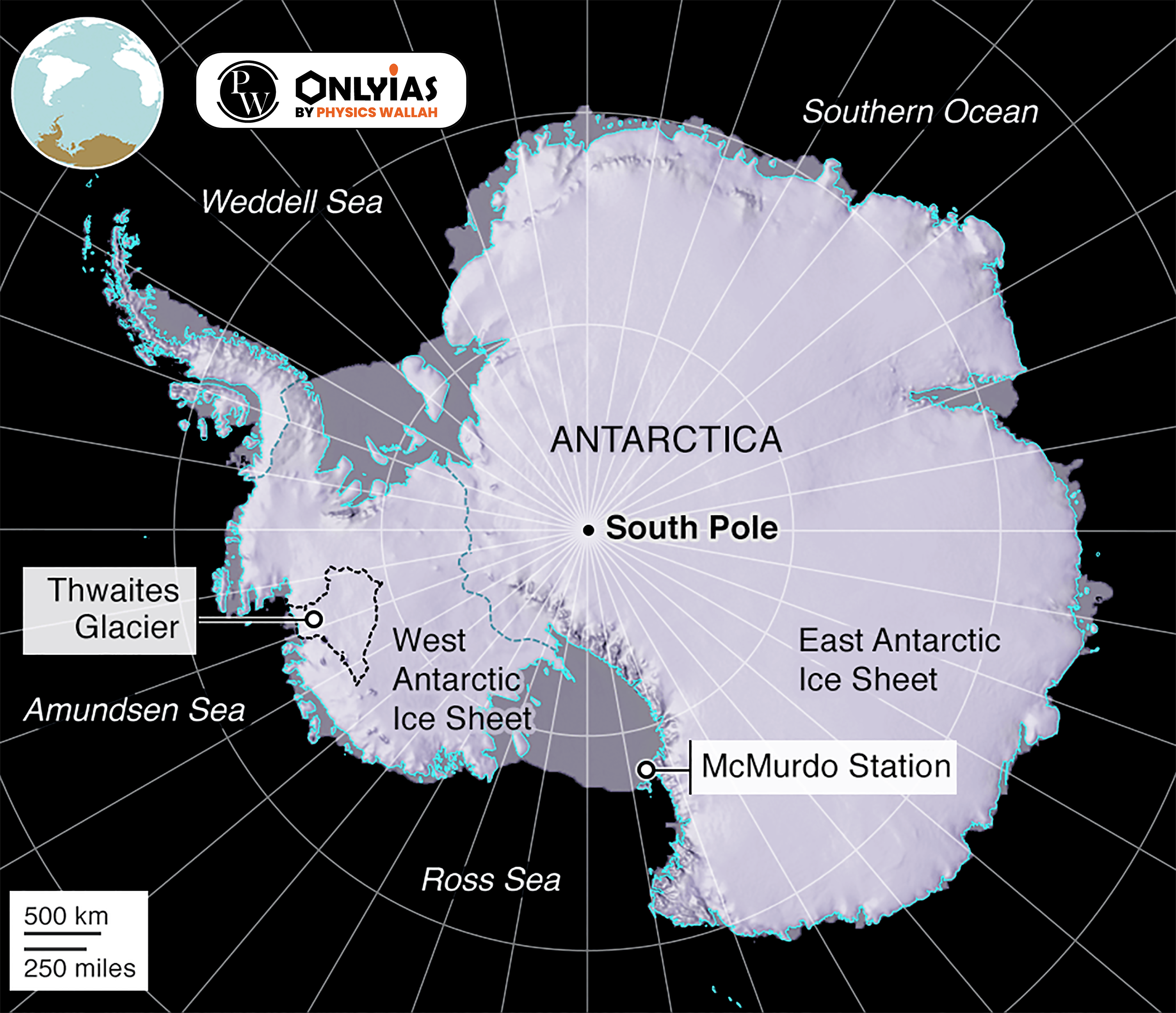
About Antarctica
|
|---|
News Source: DTE
| Attempt the PY Prelims Question
In which of the following activities are Indian Remote Sensing (IRS) satellites used? (2015) 1. Assessment of crop productivity 2. Locating groundwater resources 3. Mineral exploration 4. Telecommunications 5. Traffic studies Select the correct answer using the code given below. (a) 1, 2 and 3 only (b) 4 and 5 only (c) 1 and 2 only (d) 1, 2, 3, 4 and 5 Ans: (a) |
|---|
Explore UPSC Test Series


.png)

Explore SRIJAN Prelims Crash Course


Connect with our experts to get free counselling & start preparing
Books
Udaan (Prelims Wallah)
Prahaar (Mains Wallah)
Q&A Bank (Prelims & Mains)
Budget & Economic Survey
NCERT Wallah
Marks Booster
हिंदी माध्यम विशेष शृंखला
 Current Affairs
Monthly Current Wallah
Subject Wise Current Affairs
Editorial Analysis
Editorial PDFs
News of The Day
Download Our App


Download Our App
<div class="new-fform">
</div>


 GS Foundation
 Optional Course
 Combo Courses
 Degree Program