Books

 14 May 2024
The government has planned to complete GIS mapping of all national highways to improve planning, execution, and monitoring.
The Ministry of Road Transport and Highways (MORTH) has instructed project implementing units of various agencies to mark their jurisdiction on a dashboard. Agencies include the National Highways Authority of India (NHAI), Border Roads Organisation (BRO), and National Highways and Infrastructure Development Corporation Ltd (NHIDCL).
GIS stands for Geographic Information System.
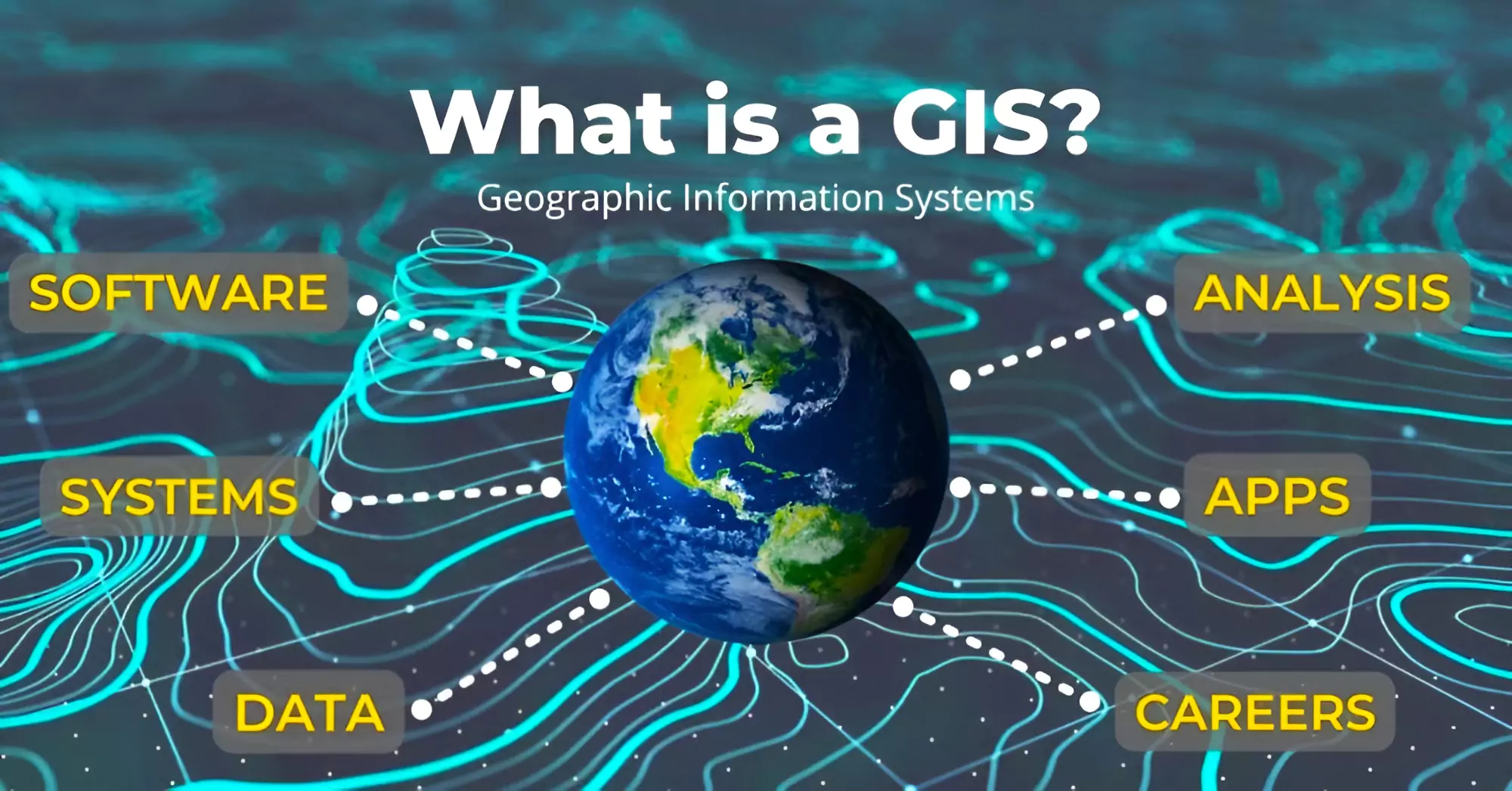 It helps individuals and organizations understand spatial patterns and relationships by connecting seemingly unrelated data.
It has following elements
| Benefit of GIS mapping | Explanation | Challenges of GIS mapping | Explanation |
| Accurate Data Representation | GIS maps provide precise details about the road network, including its alignment, intersections, and features (lanes, bridges, signage). This accuracy is crucial for effective planning, design, and maintenance activities. | Data Accuracy | Ensuring the data used in GIS maps is accurate and up-to-date is vital. Errors in data collection or validation can lead to incorrect road layouts and navigation problems. |
| Efficient Planning & Decision-Making | By visualizing highway data on GIS maps, authorities can make informed decisions about road expansion, repairs, and upgrades. This facilitates streamlined project planning and optimal resource allocation. | Scale & Resolution | Balancing the level of detail needed with manageable file sizes can be tricky. High-resolution maps containing extensive data can be resource-intensive. |
| Asset Management | GIS helps manage highway assets (bridges, culverts, signage) by tracking their location, condition, and maintenance history. This enables timely repairs and minimizes disruptions due to breakdowns. | Dynamic Changes | Since roads, bridges, and intersections undergo changes over time, keeping maps updated requires continuous monitoring and data refreshes. |
| Emergency Response | During accidents or natural disasters, GIS maps empower emergency services to locate affected areas, divert traffic flow, and coordinate rescue efforts effectively. | Terrain & Elevation | Accurately representing elevation changes is crucial for safety and navigation. Representing steep slopes, tunnels, and bridges accurately can be challenging. |
| Environmental Impact Assessment | GIS tools help analyze the environmental impact of highway projects by considering factors like land use, vegetation, and water bodies. This allows for informed decision-making that minimizes environmental damage. | Privacy & Security | Striking a balance between sharing useful details and protecting sensitive information (private properties) is necessary. |
| Public Access & Transparency | Sharing GIS maps with the public enhances transparency. Citizens can access information about road conditions, tolls, and amenities (rest stops, gas stations). | Interoperability | Integrating data from various sources (satellites, drones, ground surveys) into a cohesive map can be complex due to format differences. |
| Cost Savings | The benefits of efficient planning, reduced maintenance costs, and optimized resource allocation lead to significant financial savings in the long run. | Legal & Regulatory Compliance | Adhering to local laws regarding data collection, permissions, and privacy regulations is critical for project success. |
| Must Read | |
| NCERT Notes For UPSC | UPSC Daily Current Affairs |
| UPSC Blogs | UPSC Daily Editorials |
| Daily Current Affairs Quiz | Daily Main Answer Writing |
| UPSC Mains Previous Year Papers | UPSC Test Series 2024 |
Explore UPSC Test Series


.png)

Explore SRIJAN Prelims Crash Course


Connect with our experts to get free counselling & start preparing
Books
Udaan (Prelims Wallah)
Prahaar (Mains Wallah)
Q&A Bank (Prelims & Mains)
Budget & Economic Survey
NCERT Wallah
Marks Booster
हिंदी माध्यम विशेष शृंखला
 Current Affairs
Monthly Current Wallah
Subject Wise Current Affairs
Editorial Analysis
Editorial PDFs
News of The Day
Download Our App


Download Our App
<div class="new-fform">
</div>
 GS Foundation
 Optional Course
 Combo Courses
 Degree Program