Context:
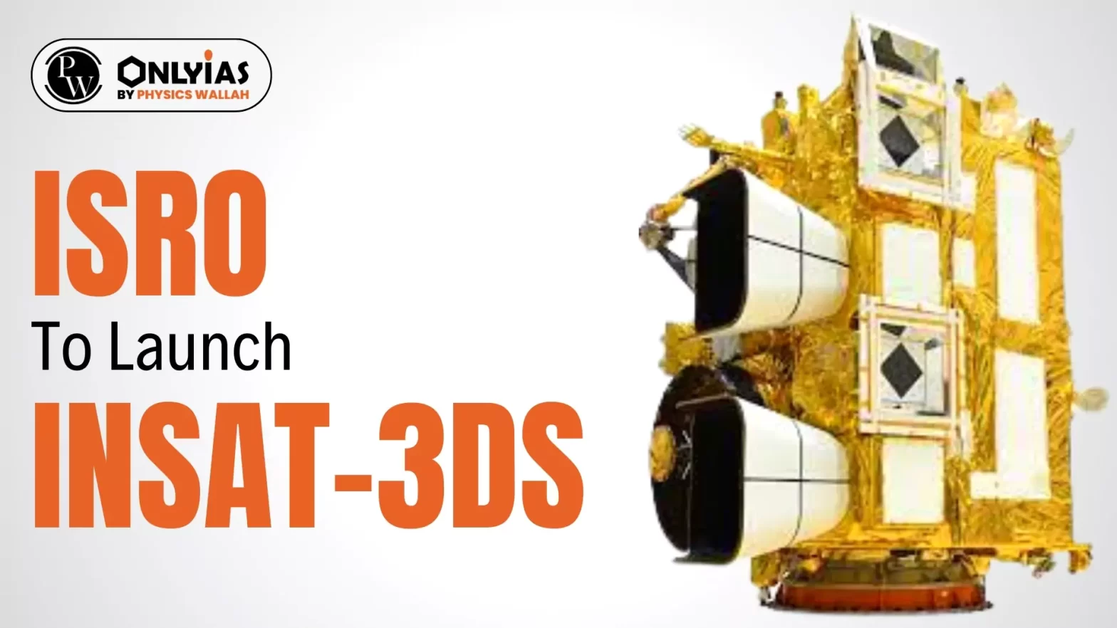
This article is based on the news “ISRO to launch INSAT-3DS on Feb 17, will improve forecasts” which was published in the Indian Express. ISRO to launch INSAT-3DS on Feb 17 to improve forecasts. It is the third in a series of INSAT-3D satellites.
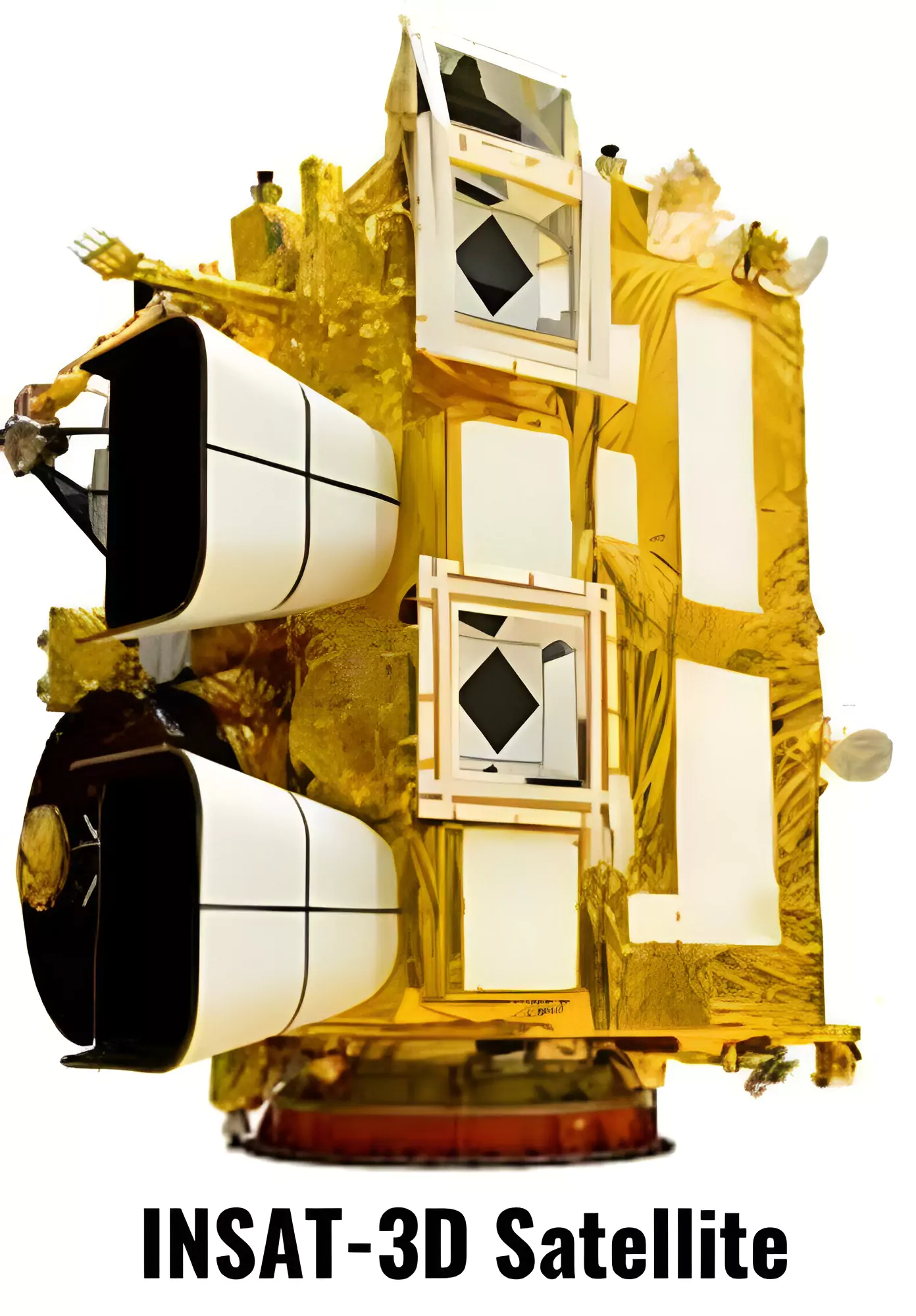
- Its predecessors were INSAT-3D (launched in 2013), and INSAT-3DR (2016).
- INSAT or the Indian National Satellite System is a series of multipurpose Geo-stationary satellites.
- They are launched by ISRO to satisfy the telecommunications, broadcasting, meteorology, and search and rescue needs of India.
- INSAT is the largest domestic communication system in the Asia Pacific Region.
|
- It is designed for enhanced meteorological observations and monitoring of land and ocean surfaces for weather forecasting and disaster warning.
- Launch Details: INSAT-3DS mission is to be launched from Satish Dhawan Space Centre (SDSC) SHAR, Sriharikota, Andhra Pradesh.
- Funding: Fully funded by the Ministry of Earth Sciences (MoES).
- Collaboration: ISRO and the India Meteorological Organisation (IMD).
- Launch Vehicle: Geosynchronous Launch Vehicle (GSLV-F14). The GSLV aims at deploying the INSAT-3DS into the Geosynchronous Transfer Orbit (GTO).
- Augmentation: The satellite will augment the Meteorological services along with the presently operational INSAT-3D and INSAT-3DR satellites.
Also Read: Six Space Missions In 2024
Satish Dhawan Space Centre (SDSC)
- Satish Dhawan Space Centre (SDSC) SHAR, Sriharikota, the Spaceport of India, is responsible for providing Launch Base Infrastructure for the Indian Space Programme.
- The Centre has two launch pads from where the rocket launching operations of PSLV and GSLV are carried out.
- It has a separate launch pad for launching sounding rockets.
|
Aim of INSAT-3DS Mission
- To monitor Earth’s surface, carry out Oceanic observations and its environment in various spectral channels of meteorological importance.
- To provide the vertical profile of various meteorological parameters of the Atmosphere.
- To provide the Data Collection and Data Dissemination capabilities from the Data Collection Platforms (DCPs).
- To provide Satellite Aided Search and Rescue services.
INSAT-3DS Payload
- Imager Payload: INSAT-3DS Satellite carries a multi-spectral Imager (optical radiometer) capable of generating images of the Earth and its environment in six wavelength bands.
- Sounder Payload: Sounder will provide the information on the vertical profiles of the Atmosphere – temperature, humidity etc.
- Data Relay Transponder (DRT): Receives globally Meteorological, Hydrological and Oceanographic data from automatic Data collection platforms/Automatic Weather Stations (AWS) from multi-user and relays back to the user terminal.
- Satellite-aided Search and Rescue (SA&SR) Transponder: Relays a distress signal/alert detection from the beacon transmitters for Search and Rescue purposes.
Also Read: India-U.S. Space Cooperation
GSLV-F14
- Geosynchronous Satellite Launch Vehicle (GSLV) is a three-stage launch vehicle having a liftoff mass of 420 tonnes.
- GSLV can be used to launch a variety of spacecraft capable of performing communications, navigation, earth resource surveys, and any other proprietary mission.
|
Geostationary Transfer Orbit (GTO)
- Transfer orbits are a special kind of orbit used by the satellites to get from one orbit to another.
- GTO provides satellites a halt before they can be placed in their destination orbit.
- The launchers do not have to directly place a satellite into GEO. Instead, it can first make use of GTO.
Geostationary Earth Orbit (GEO)
- It makes satellites placed in it appear ‘Stationary’ as their orbital period is the same as the earth’s rotation period.
- The GEO satellites are directly overhead at the Earth’s equator.
- ISRO’s Indian National Satellite System [INSAT] is placed in GEO. This is because it is easy for the Earth antennas to track the communication satellites without rotation.
|
Also Read: Vyommitra
News Source: Indian Express