Important North-East Mountains of India: Himalayan, Purvanchal, Shillong Range

India's North-East mountains are classified into three categories: Himalayan, Purvanchal, and Shillong Plateau ranges. The Himalayan region includes the Dafala, Miri, Abor, and Mishmi Hills. Purvanchal Hills, like Patkai Bum and Naga Hills extend north to south. The Shillong Plateau, part of the Peninsular Plateau, features the Garo, Khasi, Jaintia, and Karbi Anglong Hills.

Important North-East Mountains of India: Himalayan, Purvanchal, Shillong Range

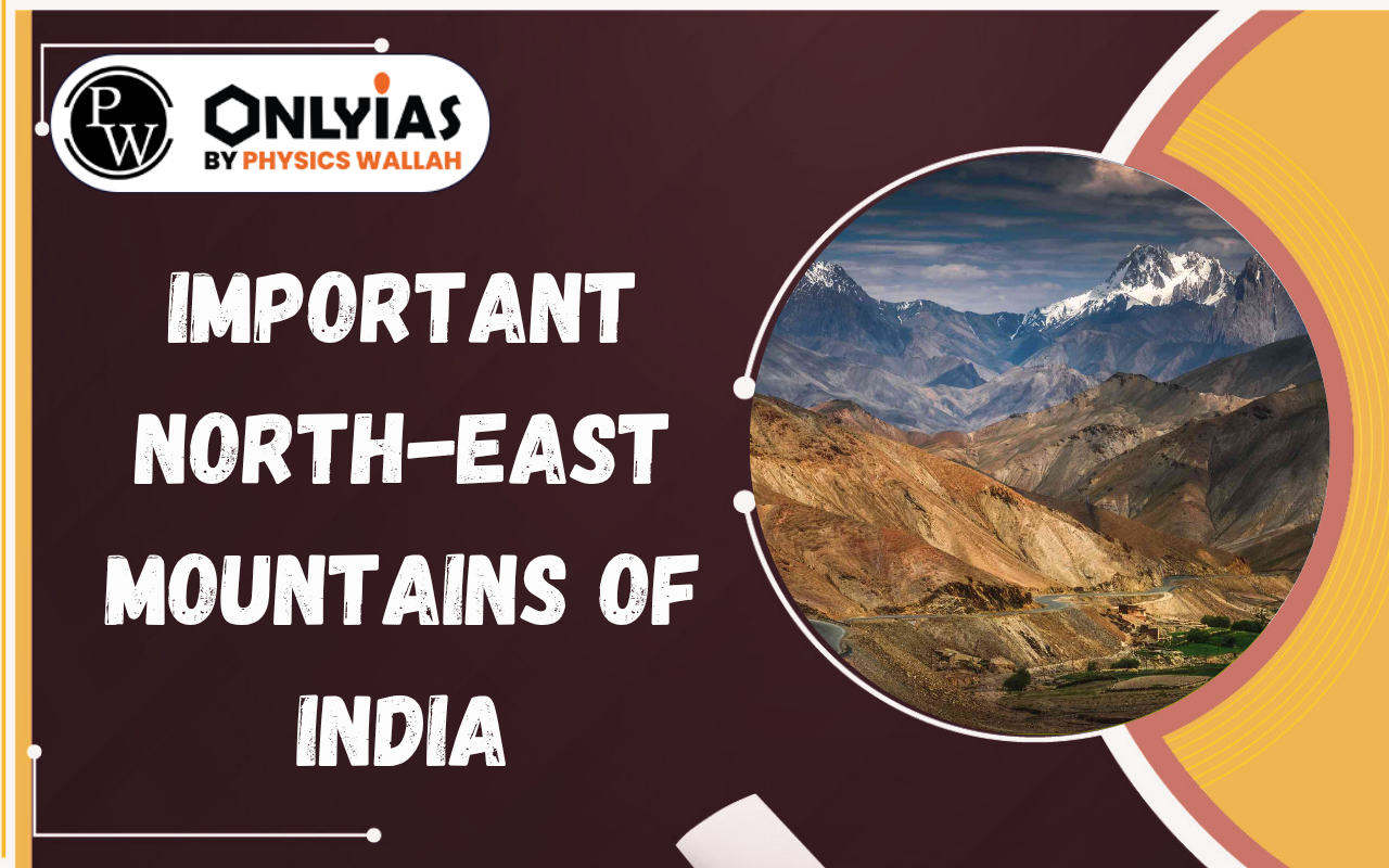
North-Eastern states of India feature a diverse array of mountain ranges, combining extensions of the mighty Himalayas with significant formations of the Peninsular Plateau. Understanding these geographical structures is crucial for comprehending the region’s unique biodiversity, climate, and cultural landscapes. 

Best Online Coaching for UPSC

Classification of Mountain Ranges in North East India

The mountain ranges in North-Eastern India are broadly categorized into three main types:

  1. Himalayan Mountain Ranges: These ranges are found in the North-Eastern states of Sikkim and Arunachal Pradesh. They represent the eastern continuation of the grand Himalayan system.
  2. Purvanchal Hills: While technically a part of the Himalayas, these hills are distinguished by their North to South orientation, contrasting with the typical West to East alignment of the main Himalayan range. They stretch from Arunachal Pradesh down to Mizoram.
  3. Shillong Plateau: Covering Meghalaya and parts of Assam, the Shillong Plateau is geologically considered a part of the Peninsular Plateau. Consequently, most mountains here are fault mountains, unlike the fold mountains characteristic of the Himalayan ranges.

Himalayan Mountain Ranges of North East

Moving from west to east, the significant Himalayan ranges in the North East include:

  • Dafala Hills: Located near the border of Assam and Arunachal Pradesh, named after the local Dafala tribe. The Kameng River flows along its western boundary. To its east are the Miri Hills.
  • Miri Hills: Named after the local Miri tribe, these hills are situated to the east of the Dafala Hills. Further east are the Abor Hills.
  • Abor Hills: The Dibang River touches its eastern border. This region is home to the Dibang-Dibang Biosphere Reserve and Mouling National Park.
  • Mishmi Hills: Located east of Abor Hills, this area serves as a convergence zone between the Himalayas and the Purvanchal Himalayas, known for its rich biodiversity.

Purvanchal Mountain Ranges

The hill ranges of the Purvanchal Mountains, extending from north to south, include:

  • Dapha Bum: This range is located in the northernmost part of the Purvanchal Himalayas and forms a part of the Mishmi Hills.
  • Patkai Bum: Situated south of Dapha Bum, this is not a single range but a series of several mountain ranges. The Dehing Patkai National Park is found in its foothills. Further south, Patkai Bum divides into two ranges:
    • The western branch is known as the Barail Range.
    • The eastern branch is called the Naga Hills.
  • Naga Hills: Home to Mount Saramati, which is the highest peak of Nagaland.
  • Manipuri Hills: Located south of Naga Hills, on the border of Manipur and Nagaland. The Sirohi National Park is on its northern side. The Barak River, a prominent North-Eastern river, originates here and flows into Assam and then Bangladesh.
  • Mizo Hills: Found further south in Mizoram. Mount Phawngpui is its highest peak (locally known as the Blue Mountain). The Phawngpui National Park and Murlean National Park are located within this range.
  • Atharamura Range: Situated on the western side of the Mizo Hills, in Tripura.
  • Jampui Hills: Located in the westernmost part of Tripura.

Click to Know UPSC Offline Courses

Shillong Plateau Mountain Ranges

The key ranges of the Shillong Plateau are:

  • Garo Hills: Occupying the westernmost part of the Shillong Plateau, these hills are one of the wettest regions in the world. Their unique topography creates a funneling effect, trapping monsoon winds in narrow galleries and causing intense orographic rainfall.
  • Khasi Hills: Located to the eastern side of the Garo Hills. Both Garo and Khasi Hills are characterized by thick tropical forests. The renowned Nokrek National Park is situated in this area.
  • Jaintia Hills: Positioned further east from the Khasi Hills, on the Meghalaya Plateau. This is the easternmost hill of the Shillong Plateau, bordered by the Kupili River. Shillong Peak, the highest peak of the Shillong Plateau, lies between the Jaintia and Khasi Hills.
  • Karbi Anglong Plateau: Found to the north-east of the Shillong Plateau. The Mikir Hills are to its north, and the Rengma Hills are to its south. This plateau is surrounded on three sides by the Brahmaputra River. Kaziranga National Park is located in the northern part of the Mikir Hills.

Check Out UPSC CSE Books

Visit PW Store
online store 1

Frequently Asked Questions

How are the mountain ranges in North-East India primarily classified?

The mountain ranges in North-East India are broadly classified into three main categories: Himalayan Mountain Ranges, Purvanchal Hills, and the Shillong Plateau.

What is the key distinguishing feature of the Purvanchal Hills compared to the main Himalayas?

The Purvanchal Hills are distinguished by their North to South orientation, which contrasts with the typical West to East orientation of the main Himalayan ranges.

Which mountain ranges are part of the Shillong Plateau and what is their geological characteristic?

The Shillong Plateau includes the Garo Hills, Khasi Hills, Jaintia Hills, and the Karbi Anglong Plateau. Geologically, these are primarily fault mountains, as the Shillong Plateau is part of the Peninsular Plateau.

Which Himalayan ranges are found from west to east in North-East India?

From west to east, the Himalayan ranges in North-East India include the Dafala Hills, Miri Hills, Abor Hills, and Mishmi Hills.

Which mountain range in the North East is known for its extreme rainfall due to a "funneling effect"?

The Garo Hills in the Shillong Plateau are recognized as one of the wettest regions globally, due to their unique topography that traps monsoon winds, creating a "funneling effect" leading to intense orographic rainfall.

Important North-East Mountains of India: Himalayan, Purvanchal, Shillong Range

Explore UPSC Foundation Course

Need help preparing for UPSC or State PSCs?

Connect with our experts to get free counselling & start preparing

Aiming for UPSC?

Download Our App

      
Quick Revise Now !
AVAILABLE FOR DOWNLOAD SOON
UDAAN PRELIMS WALLAH
Comprehensive coverage with a concise format
Integration of PYQ within the booklet
Designed as per recent trends of Prelims questions
हिंदी में भी उपलब्ध
Quick Revise Now !
UDAAN PRELIMS WALLAH
Comprehensive coverage with a concise format
Integration of PYQ within the booklet
Designed as per recent trends of Prelims questions
हिंदी में भी उपलब्ध

<div class="new-fform">


    </div>

    Subscribe our Newsletter
    Sign up now for our exclusive newsletter and be the first to know about our latest Initiatives, Quality Content, and much more.
    *Promise! We won't spam you.
    Yes! I want to Subscribe.