Books

Chota Nagpur Plateau is a mineral-rich region mainly in Jharkhand, spreading to Odisha, West Bengal, Bihar, and Chhattisgarh. Formed from ancient Precambrian rocks, it has coal, iron ore, and mica deposits, major rivers like the Damodar, rich forests, tribal communities, and strong industrial importance.
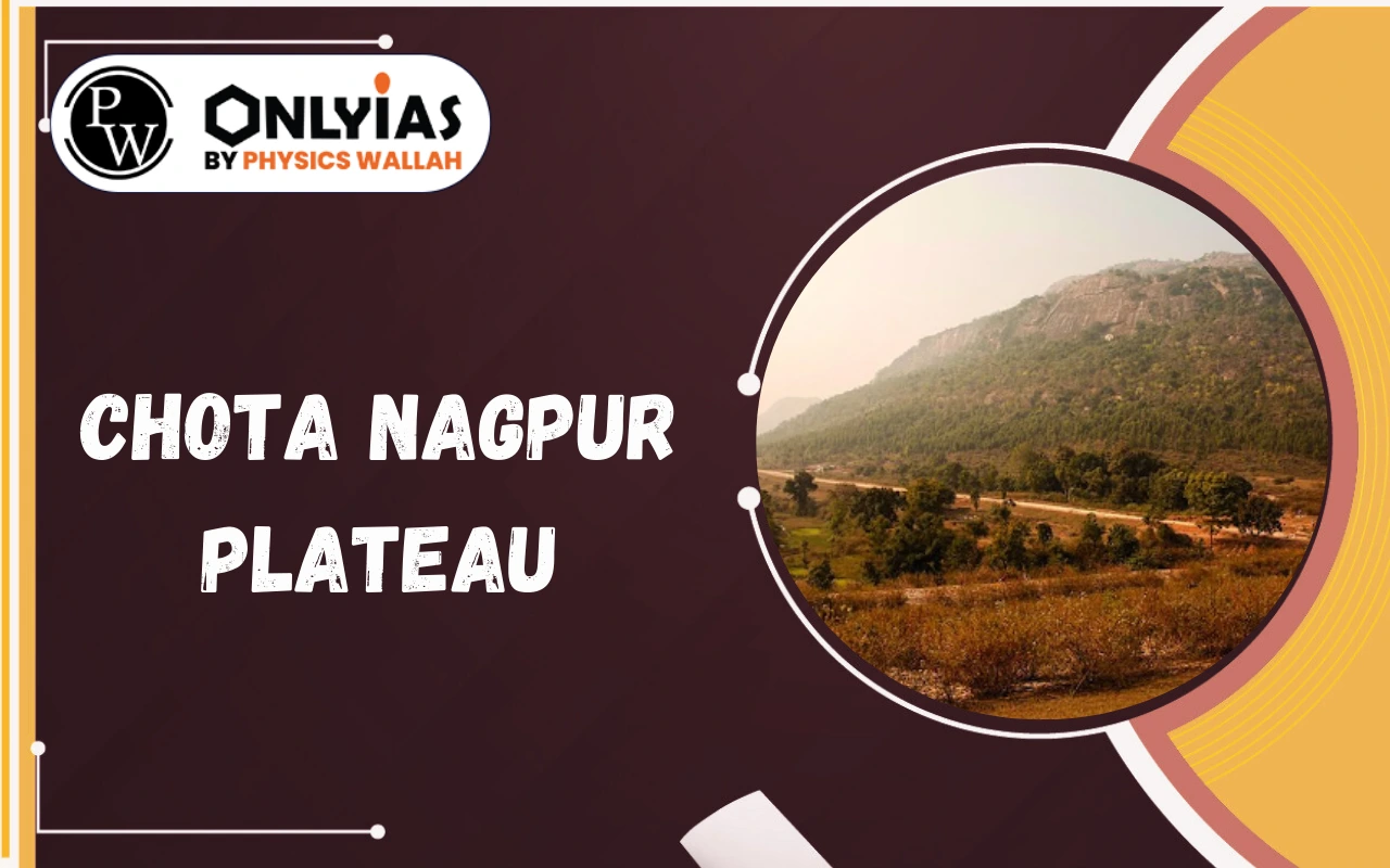
The Chota Nagpur Plateau is one of the most important physical regions of eastern India. It is known for its ancient rocks, rich mineral deposits, tribal heritage, and industrial development. This plateau has played a major role in shaping India’s economic growth as well as its cultural history.
In geography studies, this is often described as the mineral heartland of India. However, it is not only about minerals. The region also has forests, rivers, agriculture, and vibrant tribal communities. Here, we will understand its location, extent, formation, minerals, rivers, climate, and overall importance in simple and clear language.
Understanding the Chotanagpur plateau location is important for geography learners. The plateau is mainly situated in the state of Jharkhand. It also spreads into parts of Odisha, West Bengal, Bihar, and Chhattisgarh.
When we look at the Chota Nagpur plateau map, we can see that it lies between the Indo-Gangetic Plain in the north and the Mahanadi basin in the south. It is located between the basins of the Ganga and the Son rivers to the north and the Mahanadi River to the south.
The Chota Nagpur plateau states include:
The Chota Nagpur plateau extent covers around 65,000 square kilometres. The plateau has an average height of about 700 metres above sea level. The highest peak is Parasnath Hill, which rises to about 1,164 metres.
The region includes smaller plateaus such as the Ranchi Plateau, Hazaribagh Plateau, and Koderma Plateau. These sub-regions give the plateau a stepped appearance.
The Chota Nagpur plateau geology is very ancient. The plateau is mainly made of Precambrian rocks such as granite and gneiss. These rocks are among the oldest rock formations found on Earth.
The Chota Nagpur plateau formation is linked to the geological history of the Gondwana landmass. Over millions of years, tectonic movements caused uplift in this region. After uplift, long periods of weathering and erosion shaped the present landscape.
The plateau has three distinct levels:
Erosion by rivers has created valleys and isolated hills. Over time, the surface became a peneplain, which means a nearly level land formed after long erosion. Later uplift again gave it its present height.
Because of its ancient structure, the Chota Nagpur Plateau is very rich in minerals.
Explore UPSC Foundation Courses

Explore UPSC Foundation Courses
The rivers of Chota Nagpur plateau play a major role in agriculture and industry. Many rivers originate from this plateau and flow towards different basins. Important rivers include:
The Damodar Valley Chota Nagpur Plateau region is especially important. The Damodar River was once known for causing floods in West Bengal. Today, dams and projects help in flood control, irrigation, and power generation.
These rivers support farming and provide water to industries located in the plateau region.
The Chota Nagpur plateau climate is tropical in nature. It has three main seasons:
The region receives average annual rainfall of around 1,400 millimetres. Most of the rainfall occurs during the monsoon season. Summers can be hot, while winters are generally mild and pleasant.
The climate supports tropical deciduous forests and agriculture. However, rainfall distribution is not always uniform, so irrigation plays an important role.
The Chota Nagpur plateau forests and biodiversity add ecological value to the region. The plateau is covered with tropical deciduous forests. Common trees include sal, teak, and bamboo.
The forests are home to animals such as elephants, leopards, deer, and various bird species. Forest products such as lac and tussar silk provide livelihood to local communities.
The region also has several wildlife sanctuaries and forest reserves. These help in conserving biodiversity and maintaining ecological balance.
The Chota Nagpur plateau minerals are the backbone of its economy. The plateau has abundant deposits of coal, iron ore, mica, bauxite, chromite, kyanite, and other minerals.
The mineral resources of Chota Nagpur plateau have supported India’s steel, aluminium, and power industries for many decades.
There are major coal fields in Chota Nagpur plateau, especially in the Damodar Valley region. The Jharia and Bokaro coalfields are well known. The coal found here is mainly bituminous coal, which is useful for power plants and steel production.
There are large deposits of iron ore in Chota Nagpur plateau, particularly in Singhbhum. These deposits have supported steel plants in the region.
One of the important industrial cities here is Jamshedpur, where Tata Steel established one of India’s early integrated steel plants. Another major centre is Bokaro, known for its steel plant.
The region is famous for mica production Chota Nagpur plateau, especially around Hazaribagh and Koderma. Mica is used in electrical equipment, cosmetics, and other industries.
Bauxite supports aluminium production. Chromite is used in stainless steel manufacturing. Kyanite is useful in refractory materials.
Because of this mineral wealth, the plateau developed into a major industrial region of Chota Nagpur plateau.
This is home to many tribal communities. These communities have preserved their culture, traditions, and languages for generations. Major tribes include:
The Santhals are one of the largest tribal groups in India. The Mundas are known for festivals like Karam. The Oraons are mainly agriculturists. The Ho tribe is concentrated in Singhbhum. The Gonds are spread across central India and follow traditional practices.
Languages spoken here include Santali, Mundari, Oraon, and Nagpuri. These communities depend on agriculture, forest produce, and small-scale activities for livelihood.
The region also played a role in India’s freedom struggle. Birsa Munda led a tribal movement against British rule in this region.
Although the land is rocky in many places, agriculture is still practiced widely. Crops such as rice, maize, pulses, and oilseeds are grown.
Small-scale farming supports rural families. Rivers and dams provide irrigation in many areas. Forest-based activities such as lac collection and silk production also support livelihoods.
Explore UPSC Prarambh Course

Explore UPSC Prarambh Course
The Chota Nagpur plateau economic importance is very high for India. It supplies raw materials for many industries. Steel plants, power plants, and aluminium factories depend on minerals from this region.
Railway lines connect the plateau to major cities such as Kolkata and Patna. This connectivity helps in transporting minerals and industrial goods.
The region contributes to:
Because of this, it is considered a strategic industrial zone in eastern India.
For exam preparation, these Chota Nagpur plateau geography notes are important:
These points are often asked in competitive exams and school geography papers.
This is a region of great geographical, economic, and cultural importance. Its ancient geological structure has provided rich mineral deposits. Its rivers and forests support both industry and rural life. Tribal communities add cultural depth to the region.
Over time, it has developed into a major industrial and mining centre. At the same time, it remains a land of forests, hills, and traditional communities. Understanding this will helps students and readers appreciate how physical geography influences economic and social development in India.
This continues to play a central role in India’s growth while preserving its unique natural and cultural heritage.
Check Out UPSC CSE Books
Explore UPSC Test Series

The Chota Nagpur Plateau is mainly located in Jharkhand and extends into Odisha, West Bengal, Bihar, and Chhattisgarh.
It is rich in coal, iron ore, mica, bauxite, and other important minerals that support major industries.
Important rivers include the Damodar, Subarnarekha, Koel, Barakar, Brahmani, and North Koel.
The plateau is mainly composed of ancient Precambrian rocks like granite and gneiss.
It supports steel, power, and aluminium industries and plays a major role in India’s industrial development.


Explore SRIJAN Prelims Crash Course

Connect with our experts to get free counselling & start preparing
Books
Udaan (Prelims Wallah)
Prahaar (Mains Wallah)
Q&A Bank (Prelims & Mains)
Budget & Economic Survey
NCERT Wallah
Marks Booster
हिंदी माध्यम विशेष शृंखला
 Current Affairs
Monthly Current Wallah
Subject Wise Current Affairs
Editorial Analysis
Editorial PDFs
News of The Day
Download Our App


Download Our App
<div class="new-fform">
</div>
 GS Foundation
 Optional Course
 Combo Courses
 Degree Program